X Marks the Scot - An on-line community of kilt wearers.
|
-
19th July 14, 03:23 AM
#1
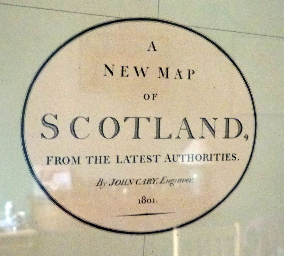
A New Map of Scotland - 1801
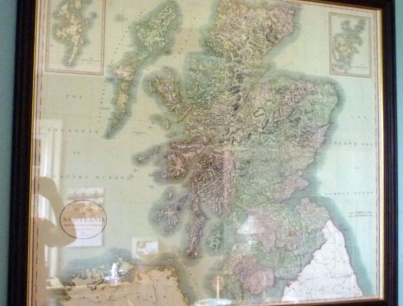
Picked up a copy John Cary's 1801 A New Map of Scotland recently and just collected it from the framers. Not the best pictures but definitely delighted to have this on my wall. It's a collection of four separate plates mounted as one sizable 40x35 map and nicely compliments the early 1716 one I picked up last year. Fascinating to see how things change over the intervening 100 odd years and how much Scotland developed during those years.
The title plate.
Overview (my reflection on the left gives an idea of the size of the map)
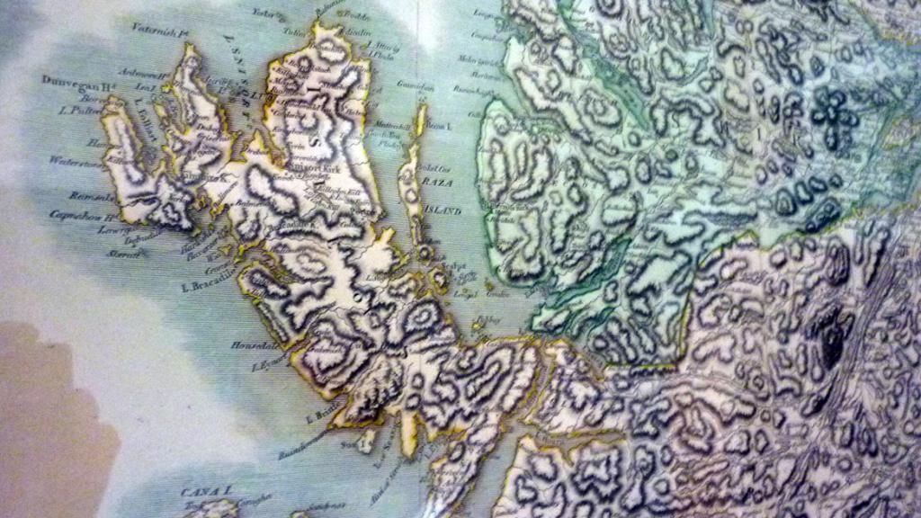
Detail of Skye and Lochalsh
Last edited by figheadair; 19th July 14 at 06:59 AM.
Reason: More info
-
The Following 13 Users say 'Aye' to figheadair For This Useful Post:
California Highlander,CMcG,creagdhubh,Domehead,GMan,Jim Simmons,KiltedDixon,MacEanruig,Nathan,Orionson,Ron Abbott,Sample m,ThistleDown
 Posting Permissions
- You may not post new threads
- You may not post replies
- You may not post attachments
- You may not edit your posts
-
Forum Rules
|
|


Bookmarks